West Coast Express
The Lower Mainland's commuter train, owned by TransLink.


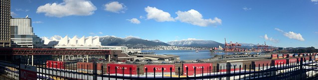
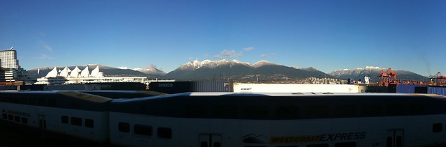
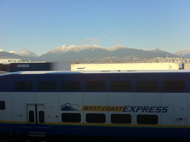
 tags: Gastown, TrainBus, TransLink, Vancouver, West Coast Express

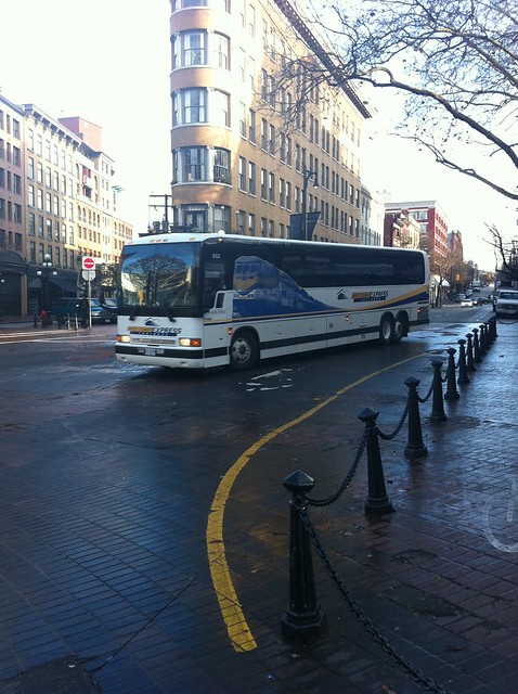
One of the new-ish Prevosts.
The above comments will not display in the recently updated section because they are syndicated directly from the Flickr photo.


which app did you use for this? #iNeedToGetAPanoramaApp!
AutoStitch iPhone app.
thanks, bought!
The above comments will not display in the recently updated section because they are syndicated directly from the Flickr photo.